Occlusion-Free Car Navigation Systems
Research Contents
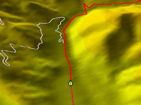
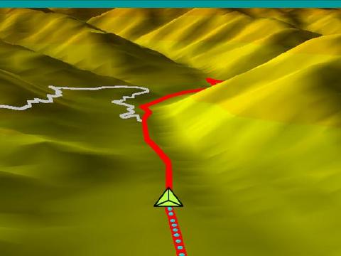
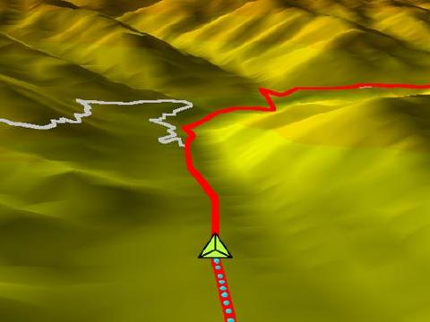
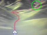
In recent car navigation systems, road networks are viewed from above as if it was a bird's-eye view. In addition, the number of systems that feature 3D map displays have been increasing, in order to help the driver associate the view with the landscape that can be viewed through the car's windows. However, in these two display methods for car navigation systems:
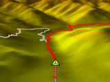
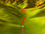
- 3D map displays cannot avoid the occlusion of roads.
- Bird's-eye view map displays make it hard to associate the view with the landscape seen from the windows.
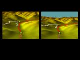
- Using both methods at the same time on separate displays produces unnecessary eye movement.
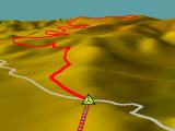
We address these problems. In this research, bird's-eye and 3D map displays are combined into one single map view, which is called non-perspective projection, to avoid occlusion of roads automatically by taking the advantages of both map display methods.
| Bird's-eye view map display | Ordinary 3D map perspective projection | Non-perspective map display | ||
|---|---|---|---|---|
|
+ |
|
= |
|
Reference Materials
 |
 |
 |
 |
|
Video for the preview session of the IEEE Visualization 2006 (commonly known as the bunny video): [WMV] |
Video of the explanation on how to create navigation images: [WMV] |
Navigation video of the Takeshi village, Nagano prefecture: [WMV] |
Navigation video of the Hida highway, Nagano prefecture: [WMV] |
 |
 |
 |
|
| Navigation video of the Venus line, Nagano prefecture [WMV] | Video comparing the difference in the angle of elevation [WMV] |
Eye-tracking experiments video: [WMV] |
Reference Literature
- S. Takahashi, K. Yoshida, K. Shimada, and T. Nishita, "Occlusion-Free Animation of Driving Routes for Car Navigation Systems," IEEE Transactions on Visualization and Computer Graphics (Proceedings of IEEE Visualization / Information Visualization 2006), Vol. 12, No. 5, pp. 1141-1148, 2006. [PDF]